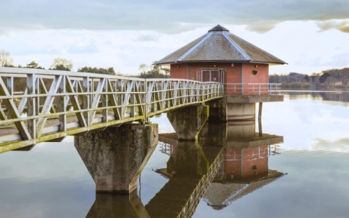
Welcome to Amelia Island, Florida’s hidden gem.
Have you ever imagined discovering the best places to paddle board in Amelia Island amidst gentle waves and lush scenery?
Let’s embark on an unforgettable journey exploring Amelia Island’s pristine waters together. Are you in?

Table of Contents
Map
Where to Paddle Board in Amelia Island
Please note: While we strive for accuracy, always verify details before paddling. If you spot an error or if you're a local official wanting to make a correction, please comment below. Thanks!
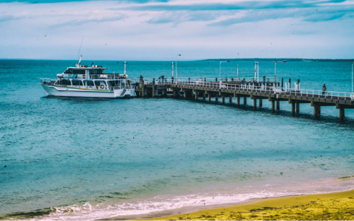
#1 Main Beach Park
- Location Type: Oceanfront
- Access Point: Main Beach Park parking lot (Google Maps)
- Water, Currents & Wind: Calm to moderate waves, ocean currents, gentle winds
- Popular Seasons: Spring through Fall
- Wildlife Encounters: Dolphins, sea turtles, shorebirds
- ????️️ Landmarks & Views: Fernandina Beach, Amelia Island Lighthouse, Fort Clinch
- Safety, Environment and Rules: Watch for surfers, adhere to designated swimming areas
Main Beach Park is a popular spot for paddle boarding in Amelia Island, offering picturesque views of Fernandina Beach and the Amelia Island Lighthouse.
Calm waters and gentle winds make it suitable for beginner and advanced paddlers alike.
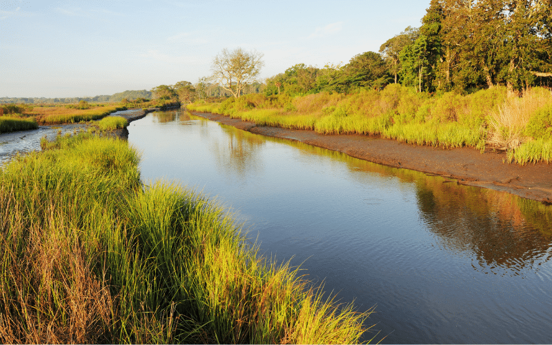
#2 Egan’s Creek
- Location Type: Channel
- Access Point: North 14th Street Boat Ramp (Google Maps)
- Water, Currents & Wind: Calm waters, mild tidal currents, sheltered from winds
- Popular Seasons: Late Spring through Early Fall
- Wildlife Encounters: Manatees, dolphins, herons, egrets
- ????️️ Landmarks & Views: Mangrove forests, salt marshes, Egan’s Creek Greenway
- Safety, Environment and Rules: Respect wildlife, avoid shallow areas during low tide
Egan’s Creek provides a tranquil and scenic paddleboarding experience through mangroves and salt marshes.
The calm waters are perfect for observing wildlife, including manatees, dolphins, and various bird species.
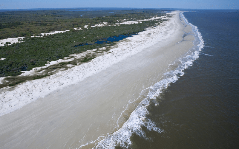
#3 Fort Clinch State Park

- Location Type: Oceanfront
- Access Point: Fort Clinch State Park beach access (Google Maps)
- Water, Currents & Wind: Mild to moderate waves, ocean currents, steady winds
- Popular Seasons: Spring through Fall
- Wildlife Encounters: Dolphins, sea turtles, shorebirds
- ????️️ Landmarks & Views: Fort Clinch, Cumberland Sound, St. Marys Inlet
- Safety, Environment and Rules: Watch for boats, respect no-wake zones in Cumberland Sound
Fort Clinch State Park offers a diverse paddleboarding experience with oceanfront access and views of historic Fort Clinch, Cumberland Sound, and St. Marys Inlet.
Enjoy the coastal landscape while keeping an eye out for wildlife encounters and boat traffic.
#4 Cumberland Island National Seashore
- Location Type: Oceanfront
- Access Point: Dungeness Dock on Cumberland Island (short ferry ride from Amelia Island) (Google Maps)
- Water, Currents & Wind: Mild waves, ocean currents, afternoon sea breezes
- Popular Seasons: Spring through Fall
- Wildlife Encounters: Wild horses, shorebirds, sea turtles
- ????️️ Landmarks & Views: Pristine beaches, maritime forests, Dungeness Ruins
- Safety, Environment and Rules: Watch for currents, respect wildlife and protected areas
Cumberland Island National Seashore is a short ferry ride from Amelia Island, offering an unparalleled paddling experience along the pristine, undeveloped shoreline.
Paddlers can catch glimpses of wild horses, sea turtles, and the historic Dungeness Ruins while navigating the gentle waters.
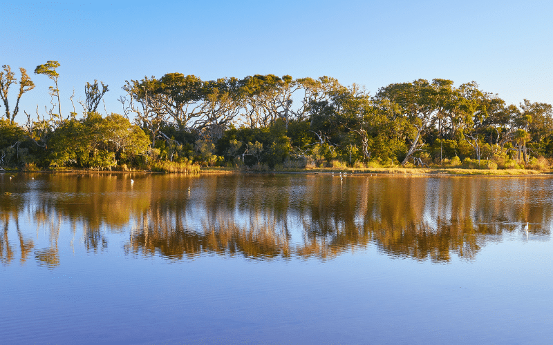
#5 Talbot Island State Parks
- Location Type: Bay/River
- Access Point: Kayak Amelia in Big Talbot Island State Park (Google Maps)
- Water, Currents & Wind: Calm to moderate currents, sheltered waters, light to moderate winds
- Popular Seasons: Late Spring through Early Fall
- Wildlife Encounters: Manatees, dolphins, marsh birds
- ????️️ Landmarks & Views: Cliffs of Big Talbot Island, salt marshes, tidal creeks
- Safety, Environment and Rules: Use caution in tidal currents, respect private property, avoid oyster beds
Talbot Island State Parks encompass both Big Talbot Island and Little Talbot Island. Kayak Amelia, located in Big Talbot Island State Park, offers a unique paddling experience through tidal creeks, salt marshes, and past the dramatic cliffs of the island.
Keep a lookout for manatees, dolphins, and marsh birds as you paddle through this serene environment.
#6 Simpson Creek
- Location Type: River
- Access Point: Sawpit Creek Boat Ramp (south of Amelia Island) (Google Maps)
- Water, Currents & Wind: Calm waters, mild currents, sheltered from strong winds
- Popular Seasons: Late Spring through Early Fall
- Wildlife Encounters: Dolphins, manatees, herons, egrets
- ????️️ Landmarks & Views: Marshes, tidal creeks, Timucuan Ecological and Historic Preserve
- Safety, Environment and Rules: Respect wildlife, avoid sensitive areas, watch for shallow waters during low tide
Simpson Creek, located just south of Amelia Island, meanders through scenic marshes and tidal creeks, providing beautiful views of the Timucuan Ecological and Historic Preserve.
Paddlers can enjoy a peaceful journey through this serene environment, with opportunities to spot dolphins, manatees, and various bird species.

FAQ
Where can you paddle board in Amelia Island?
Great paddle boarding spots in Amelia Island include Main Beach Park, the Amelia River, and Fort Clinch State Park.
Do paddle boards need to be registered in Amelia Island?
No, there’s no requirement to register paddle boards in Amelia Island.
When is the best time to paddle board in Amelia Island?
Paddle boarding in Amelia Island is ideal from late spring to early fall due to favorable weather conditions.